- Destinations
- Nature & Wildlife
- Culture & History
- Travel Planning
- Australian Life
- Kangaroo Jacks Gift Co.
- Aussie Kids

The Wheatbelt region of Western Australia is one of the state’s largest and most distinctive inland areas, shaped by broad farmland, historic towns and long-established rural communities. Stretching across a vast area east of Perth, the Wheatbelt is central to WA’s grain production, with wheat, barley, canola and lupins forming the backbone of its agricultural economy. The region’s landscapes shift from rolling hills and open paddocks to salt lakes, granite outcrops and pockets of remnant bushland, giving the Wheatbelt a varied and recognisable character.
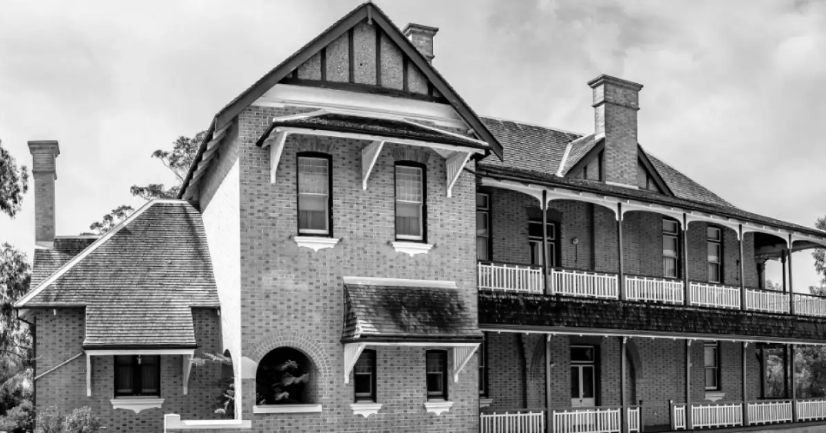
The Wheatbelt includes a wide network of towns such as Northam, York, Beverley, Merredin, Narrogin, Moora and Wongan Hills, each with its own history linked to farming, rail transport and early settlement. Many towns feature heritage buildings, old railway precincts and streetscapes that reflect the development of agriculture and rural industry over more than a century. The region also contains important natural attractions including Wave Rock, Dryandra Woodland, the Avon Valley and numerous granite outcrops that support wildlife, wildflowers and conservation efforts.
Agriculture remains central to life in the Wheatbelt, supported by machinery services, grain receival sites, livestock operations and small businesses that serve local communities. Despite its rural nature, the region is closely connected to Perth through transport routes and agricultural supply chains. The Wheatbelt’s strong community networks, seasonal rhythms and long-standing traditions continue to shape daily life, making it one of Western Australia’s most important and recognisable inland regions.


