Snowy Mountains

New South Wales

The Great Dividing Range

The Great Dividing Range

The Great Dividing Range

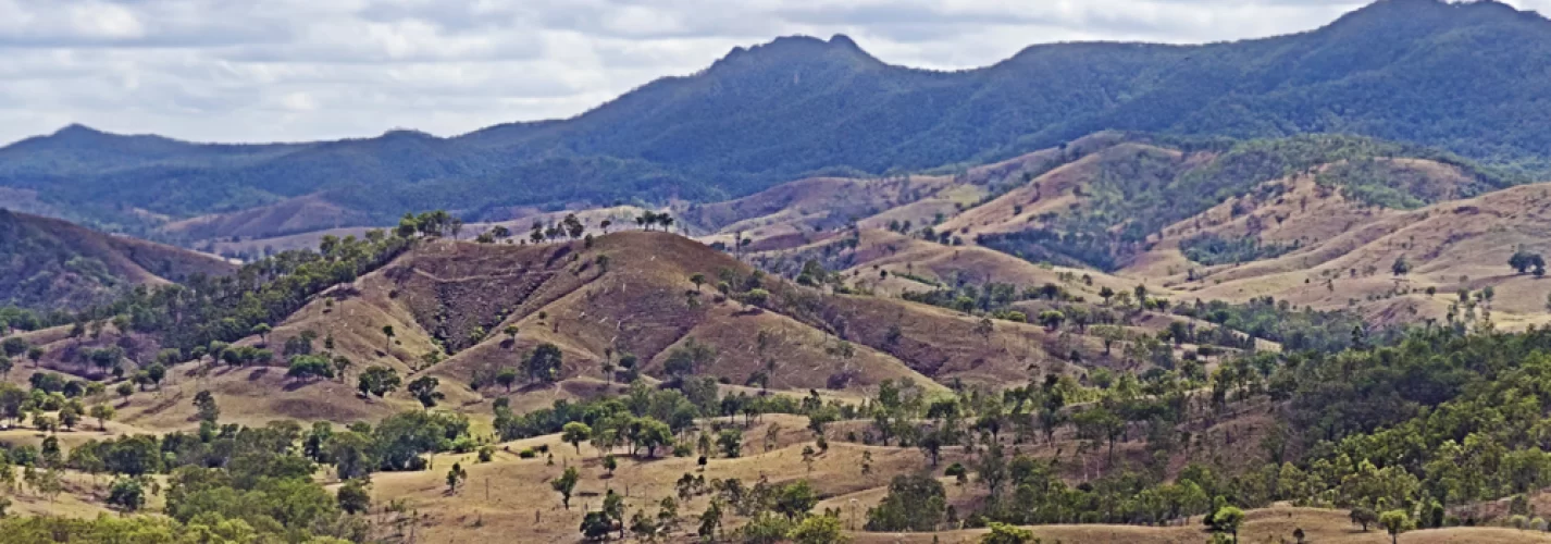
The Great Dividing Range is Australia's most impressive mountain range and the 3rd longest land-based range in the world. The Great Dividing Range is not just a single mountain range, but a complex of mountain ranges, plateaus, upland areas and escarpments with an ancient and complex geological history, created by faulting and folding processes.

Parts of the Great Dividing Range consist of relatively flat well-watered land used for agricultural and pastoral uses, which includes the Atherton Tableland and Darling Downs in Queensland, and the Northern & Southern Tablelands and Southern Highlands in New South Wales. Other tablelands which are considered part of the Great Dividing Range are the Atherton Tableland and Canberra wine region. Many parts of the highlands not developed are National Parks.

Australia's alpine areas, including its highest Mount Kosciuszko, are part of this range. The highest areas in southern New South Wales and eastern Victoria are known as the Australian Alps.

The Dandenong Ranges, Barrington Tops, Bunya Mountains, Blue Mountains, Liverpool Range, McPherson Ranges and the Moonbi Range are some of the smaller spurs and ranges that make up the Great Dividing Range.

Most of the mountains are not very steep, and virtually all peaks can be reached without mountaineering equipment. The eastern escarpment has many spectacular waterfalls formed by rivers plunging off the tablelands.

The Great Dividing Range stretches more than 3,500km from Dauan Island off the north eastern tip of Queensland, running the entire length of the eastern coastline through New South Wales, then into Victoria and turning west, before finally fading into the central plain at the Grampians in western Victoria. In some areas, such as the Snowy Mountains, Victorian Alps, the Scenic Rim and the eastern escarpments of the New England region, the highlands form a significant barrier. Many of Australia's highways such as the Alpine Way, Great Alpine Road, Hume Highway, Northern Highway, Melba Highway, Maroondah Highway, Sunraysia Highway, Federal Highway, Great Western Highway, Capricorn Highway, Cunningham Highway, New England Highway, Oxley Highway, Warrego Highway, Waterfall Way, Thunderbolts Way, the Calder Highway, the Western Highway, and the Murray Valley Highway traverse parts of the range.

Many towns and cities are located on the range & in lowland areas and foothills adjacent to the highlands:

  • Canberra - ACT
  • Goulburn - NSW
  • Cooma - NSW
  • Jindabyne - NSW
  • Katoomba - NSW
  • Oberon - NSW
  • Bowral - NSW
  • Bathurst - NSW
  • Orange - NSW
  • Armidale - NSW
  • Scone - NSW
  • Walcha - NSW
  • Guyra - NSW
  • Tenterfield - NSW
  • Caboolture - QLD
  • Toowoomba - QLD
  • Stanthorpe - QLD
  • Warwick - QLD
  • Kingaroy - QLD
  • Biloela - QLD
  • Emerald - QLD
  • Moranbah - QLD
  • Atherton - QLD
  • Mareeba - QLD
  • Omeo - VIC
  • Healesville - VIC
  • Gisborne - VIC
  • Ballarat - VIC
  • Ararat - VIC


Great Dividing Range Map   


16 Jul 2017

MORE ABOUT NSW

Browse State by State


More Places to Go


The Snowy River flows down the eastern slope. The Darling, Lachlan, Murrumbidgee, and Goulburn rivers drain down the western slope to join the Murray River.


The Great Dividing Range has its origins from when the continents of earth were fused together as the Gondwana land mass, just after the extinction of the Dinosaurs and during the time early humans first appeared.


Ghostly Legends of Luna Park Melbourne

Luna Park, Melbourne's iconic amusement park, is a place of laughter and fun. But did you know that it also has a darker side?

 Caiguna on the Nullabor
Caiguna on the Nullarbor

Caiguna, aboriginal for 'spear track' is located 182 kilometres east of Balladonia and 64 kilometres west of Cocklebiddy.

Ceduna [The Nullarbor]

Ceduna is a great base for exploring the pristine ocean and rugged coastline of the Great Australia Bight.

The Serene Charm of Hindmarsh Island

The island is one of South Australia's best-kept secrets, offering a serene charm that is sure to captivate any traveler.

Indigenous dancers strike a pose during the Homeground festival - a major annual celebration of aboriginal culture.
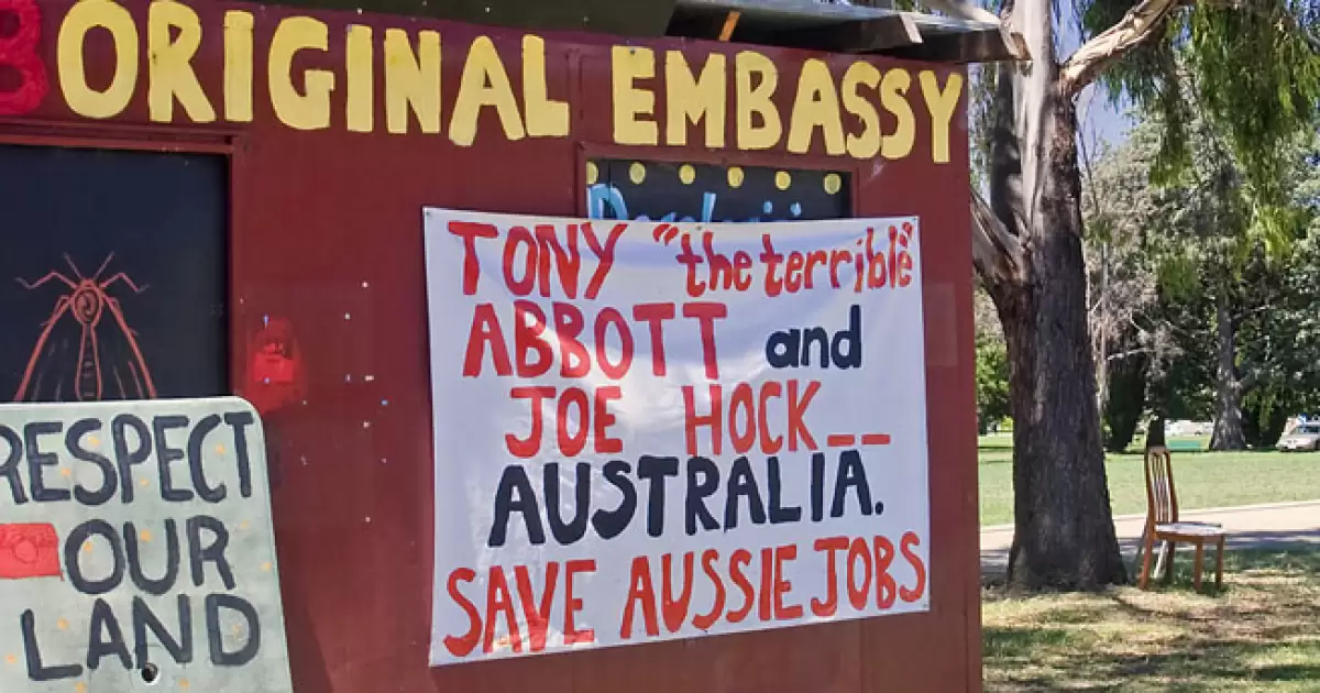
The Missing Treaty

The Māori people of New Zealand successfully secured a treaty with the British government in 1840, while Australia's Aboriginal population did not, leading to discussion of why this difference exists.

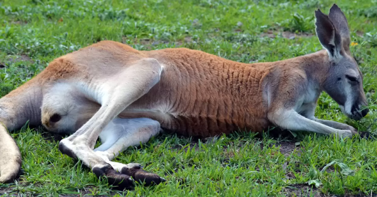
Kangaroo Fights: Observing Safely & Understanding

Male kangaroos (or “boomers”) fight to establish dominance, settle territorial disputes, or earn mating rights—and these bouts can get a little intense!

Devil's Pool
Devil's Pool

Devil's Pool is a natural pool in a treacherous stretch of Babinda Creek (Qlnd) which holds a sinister centuries-old Aboriginal history.

Northern Territory  - Overview
About the Northern Territory

The Northern Territory (NT), is situated at the top end of Australia and is home to people representing more than 100 nationalities.

Wittenoom - The Abandoned Town with a Deadly Legacy

Do you believe in ghosts? In Western Australia, there is a ghost town that still haunts the state and its people.

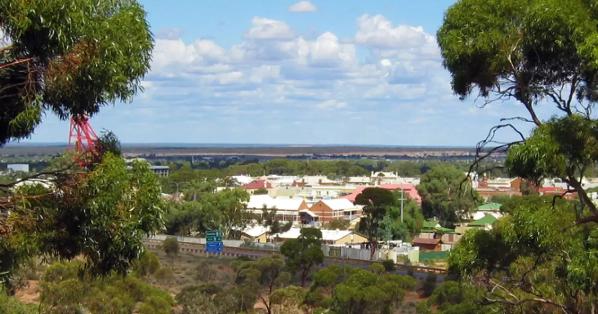
History of The Goldfields

Men came from all over the world, often dragging their families in tow to the harsh outback climate.

TOP