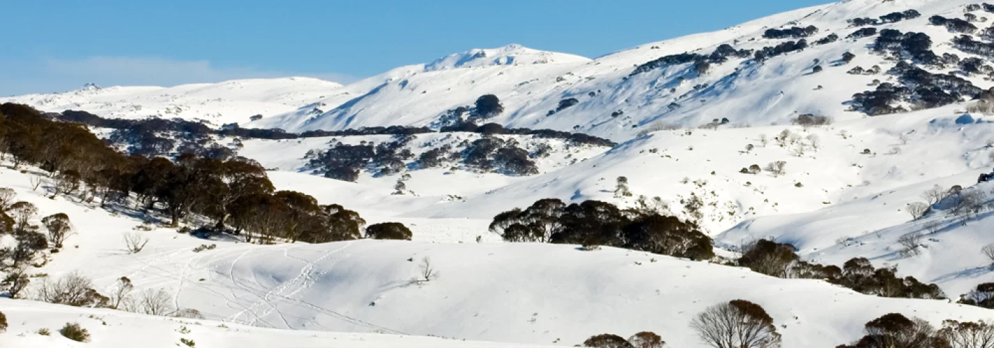
Mount Kosciuszko is Australia’s highest mountain, located in the Snowy Mountains in Kosciuszko National Park, New South Wales. The mountain was formed by a geologic uplift and not by volcanic activity.
Kosciuszko National Park is the location of the closest downhill ski slopes to Canberra and Sydney, where you will find the Thredbo, Charlotte Pass, and Perisher ski resorts. The peak and surrounding areas get a covering of snow in the winter & spring (June-October or later).
There are 3 popular walks to the peak:
- You used to be able to drive from Charlotte Pass to within a few metres of the summit, but in 1977 the road was closed to public vehicle access due to environmental concerns. The road is open from Charlotte Pass for walkers and cyclists for 7.6km to Rawson Pass, from there a 1.4km walking path leads to the summit. Cyclists must leave their bicycles at the bicycle rack at Rawson Pass, then continue on to the summit on foot. A modest level of fitness is required to walk to the top. The road from Charlotte Pass is marked by snow poles, providing as a guide for cross-country skiers.
- The peak can be approached from Thredbo, taking 3 to 3.5 hours return. The Thredbo Kosciuszko Express chairlift operates all year-round, and the walk to the peak starts there. The walking path is a mesh walkway constructed to protect the native vegetation and prevent erosion. It is 5km to Rawson Pass, where it meets the track from Charlotte Pass. From there it is a further 1.4km to the summit. This walk to the summit is the easiest of all the Seven Summits and a popular walk in summer months. The track from Thredbo is easily followed until covered by snow in winter.
- Hannel's Spur Track, is officially Australia's biggest vertical ascent of 1800m. It is a challenging 15.5km track which approaches from the north west and is the only route to pass though the Western Fall Wilderness Zone (4 different bio-diversity bands along the ascent). This is the same annual route that the stockmen once brought the cattle up & down from the valley almost 2km below to graze in the alpine meadows. Hannel's Spur Track is about a 1.4km hike south/south/east of the Geehi Rest Area on the Alpine Way road between the towns of Thredbo and Khancoban.
Every year in December, the Coast to Kosciuszko ultramarathon running race (240km) takes place. It starts at the coast & concludes by ascending to the top of Mount Kosciuszko.
Longitude:
148.2550252