South West

Western Australia

Kaniyang Country

Dardanup

Dardanup

Dardanup

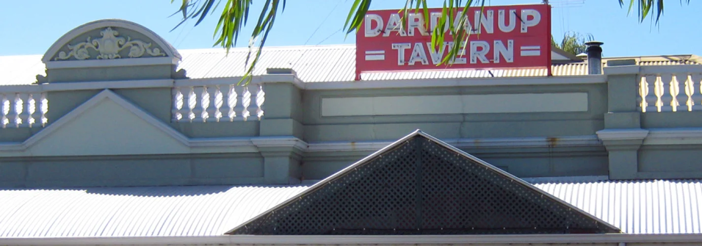
Dardanup is a small town in the South West region of Western Australia, immediately to the east and southeast of the city of Bunbury and about 180 kilometres south of the state capital. Perth. It was settled in 1852 by Thomas Little who named his property Dardanup Park. He later gave the land to the Catholic Church and a community was soon established. The government acquired land in the area in the 1920s and the townsite was gazetted in 1923.  Dardanup with a population of 370 and Burekup with 360 form the shire’s two smaller townsites, with another estimated 1900 residents living in rural areas of the shire.

Darndanup has lush green cattle country and is the gateway to the beautiful Ferguson Valley with of rolling hills, scenic valleys and incredible views of Bunbury & the Indian Ocean.  Dardanup is a blend of rural and fast-growing urban areas.  The town has beautifully maintained parks, picnic facilities, reserves and public open spaces plus a variety of picturesque natural wonders.

The word Dardanup is aparently a variation of the Indigenous Australian word Dudingup, however its meaning is unknown.


Dardanup Map   

Latitude:

-33.39783815354808

Longitude:

115.75999128253225


19 Jun 2016

MORE ABOUT WA

Browse State by State


More Places to Go


xxxxxxxxxxxxx


xxxxxxxxxxxxxxxxx


About Kalgoorlie
About Kalgoorlie

Kalgoorlie is one of those towns in Australia that is well known around the world, for a variety of reasons.

Getting To & Around Mandurah
To & Around Mandurah

Mandurah is just a hop skip & jump from Perth metro. Find out how to make your way down to the coastal city of Mandurah.

Surfing in Western Australia

When you think about white beaches and great surf, you can't helping thinking about the magnificent Western Australian coastline!

Unveiling the Mysteries of Old York Hospital

Whether you're passionate about history, fascinated by the paranormal, or an admirer of architectural splendor, the Old York Hospital captivates.

Border Village
Border Village - Nullarbor

Border Village is located fifty metres east of the Western Australian Agricultural checkpoint, twelve kilometres east of Eucla.

Wolfe Creek Crater, Kimberly, Western Australia
Truth Behind the Film Wolf Creek's Real Location

If you are a fan of horror movies, chances are you have come across the film Wolfe Creek.

The Pilbara
The Pilbara

The Pilbara is home to spectacular landscapes, coastal plains, mountain ranges, cliffs and gorges, for its ancient landscapes, vast mineral deposits & natural resources.

Mundrabilla on the Nullarbor

Mundrabilla is located 62 kilometres west of Eucla and 115 kilometres east of Madura.

Marble Bar - Hotter than a snake’s butt!<br>WA’s relentless heatwave
Marble Bar - Hotter than a snake’s butt!

Western Australia is sweltering through a record‑breaking heatwave, with the Pilbara and Marble Bar smashing temperature records as extreme heat and fire danger spread across the state.

Cocklebiddy on the Nullarbor

Cocklebiddy is situated 64 kilometres east of Caiguna and and 83 kilometres west of Madura, and inland from the Great Australian Bight.

TOP