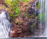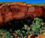
Kings Canyon
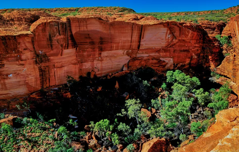
Kings Canyon is part of the Watarrka National Park in the Northern Territory. The walls of Kings Canyon are over 100 metres high, with Kings Creek at the bottom.
The 3 walks at Kings Canyon:
- Length: 2km Return Time: approx. 1hr - Kings Creek Walk traces the bottom of the gorge. At the end of the walk is a platform, with views of the canyon walls above.
- Length: 6km Loop Time: 3 - 4hrs - Kings Canyon Rim Walk traces the top of the canyon. There is a steep climb at the beginning of the walk, which locals call "Heartbreak Hill" (or "Heart Attack Hill", due to its steepness. There are spectacular views of the gorge below and of the surrounding landscape. About half way during the walk, a detour descends to the Garden of Eden, a permanent waterhole surrounded by lush plant life. The last half of the walk passes through a large maze of weathered sandstone domes. A slow descent then brings the visitor back to the starting point. The loop can also be done in reverse (anti-clockwise), but the National Park Rangers encourage visitors to walk in one direction. Access to the walk may be restricted during hot weather.[
- Length: 22 km - The Giles Track connects Kings Canyon to Kathleen Springs and is popular with more adventurous hikers.
For birdwatchers the spinifex pigeon, zebra finch, grey-headed honeyeater, dusky grasswren, black-breasted buzzard and peregrine falcon can be seen on the Kings Canyon Rim walk.
Part of the gorge is a sacred Aboriginal site and visitors are discouraged from walking off the walking tracks.
Latitude:
-24.250366
Longitude:
131.511429